
-
×
 Mavic Mini Lower Cover Module
1 × $19.86
Mavic Mini Lower Cover Module
1 × $19.86 -
×
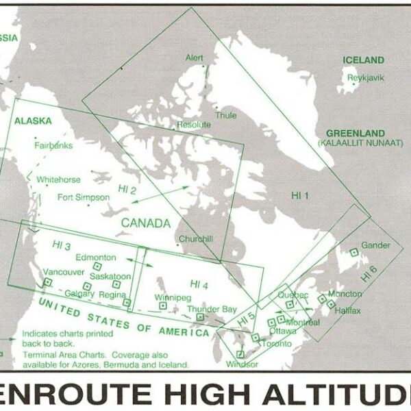
 Bahamas & Turks & Caicos WAC VFR chart by AOPA
1 × $15.95
Bahamas & Turks & Caicos WAC VFR chart by AOPA
1 × $15.95 -
×
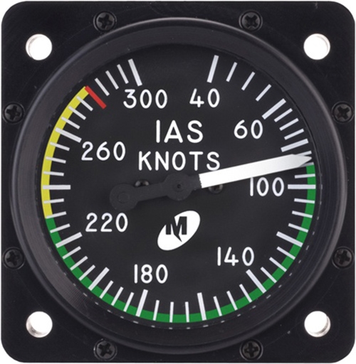 Airspeed Indicator MD25-300, 2", 40–300 knots, Lighted
1 × $2,549.30
Airspeed Indicator MD25-300, 2", 40–300 knots, Lighted
1 × $2,549.30 -
×
 Tape Highlighter Yellow
1 × $4.95
Tape Highlighter Yellow
1 × $4.95 -
×
 Vivida VA-B2 Wi-Fi Box For VA Borescopes
1 × $130.00
Vivida VA-B2 Wi-Fi Box For VA Borescopes
1 × $130.00 -
×
 82064 Gearwrench 10" V-JAW TONGUE AND GROOVE PLIERS
1 × $20.55
82064 Gearwrench 10" V-JAW TONGUE AND GROOVE PLIERS
1 × $20.55 -
×
 Bahamas Pilot Guide AOPA softcover by AOPA
1 × $48.95
Bahamas Pilot Guide AOPA softcover by AOPA
1 × $48.95
Subtotal: $2,789.56
")


There are no reviews yet.