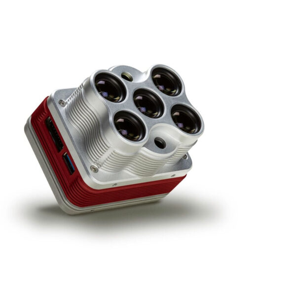
REDEDGE-MX BLUE SENSOR
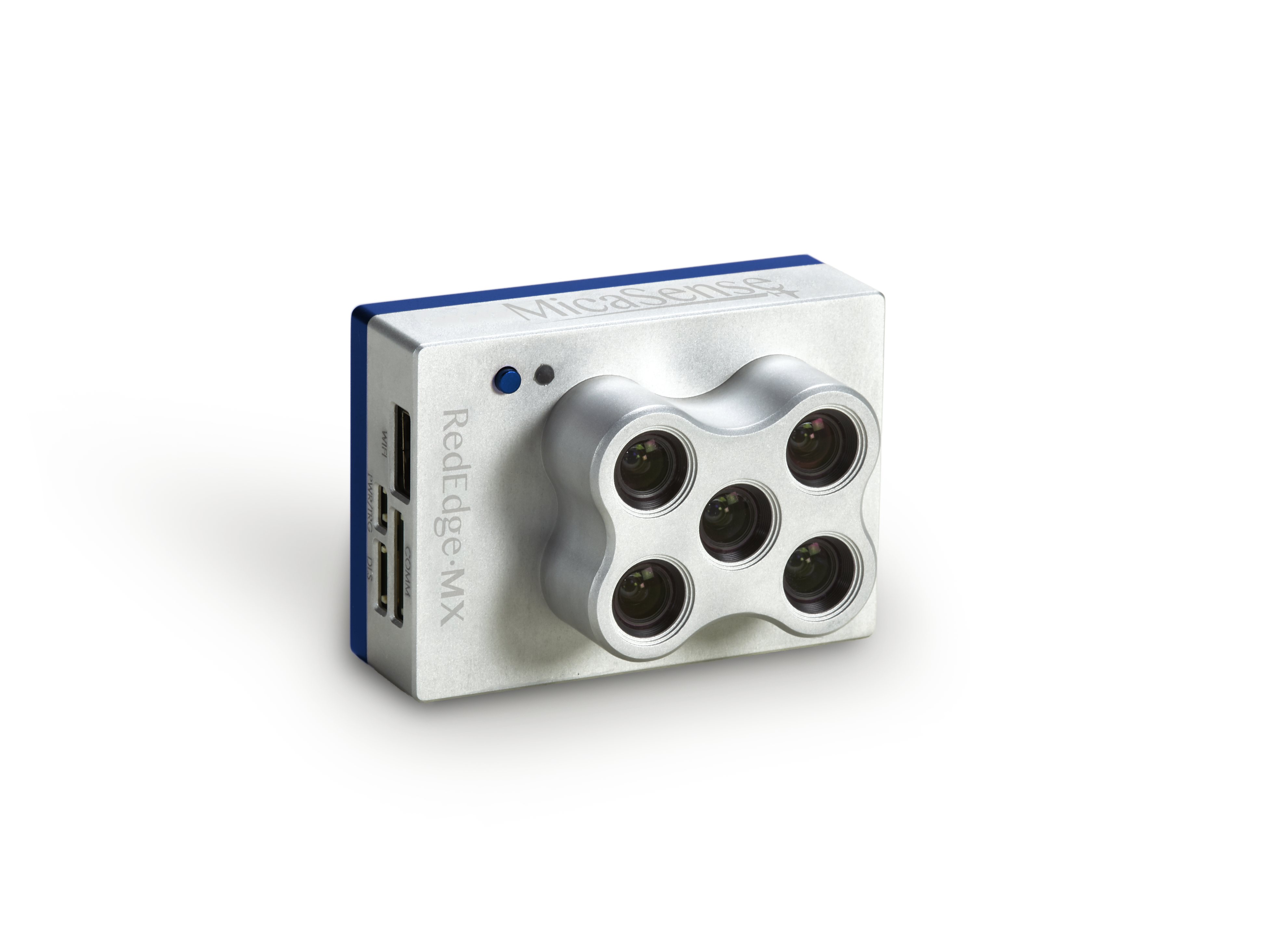
The performance you rely on from RedEdge-MX with a new coastal blue band, a new green band, and three new bands in the red to the red-edge region of the spectrum.
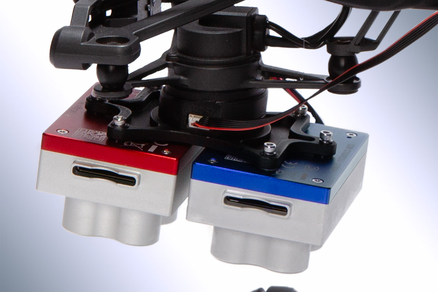
Combined with the bands in RedEdge-MX, the 10 bands in the Dual Camera System enable direct comparison between satellite and drone data.
FEATURES
-
Synchronized capture of all 10 bands for pixel aligned imagery
-
Standard 12 bit TIFF file outputs with embedded metadata for full access to raw data
-
Combined Downwelling Light Sensor and GPS for streamlined integration, accurate ambient light calibration. Only one DLS is required.
-
Radiometrically calibrated spectral imagers for precise, repeatable measurements
-
Global shutters on all 10 lenses for distortion-free results on every platform
-
Comes standard with fixed bracket and quick-mount connector for easy integration with DJI drones
BENEFITS
-
Compare imagery directly with Landsat and Sentinel satellite data
-
Data is easily processed using Pix4D, Agisoft, and other MicaSense data partners
-
Double the bands for double the analytical capabilities
-
Monitor shallow water environments with the new coastal blue aerosol band
-
Perform detailed analysis on chlorophyll efficiency or the red edge slope with new red, green, and two new red edge bands
| Style | Standalone, With DJI Skyport (Matrice 200 Series), With DJI Skyport (Matrice 300) |
|---|




There are no reviews yet.